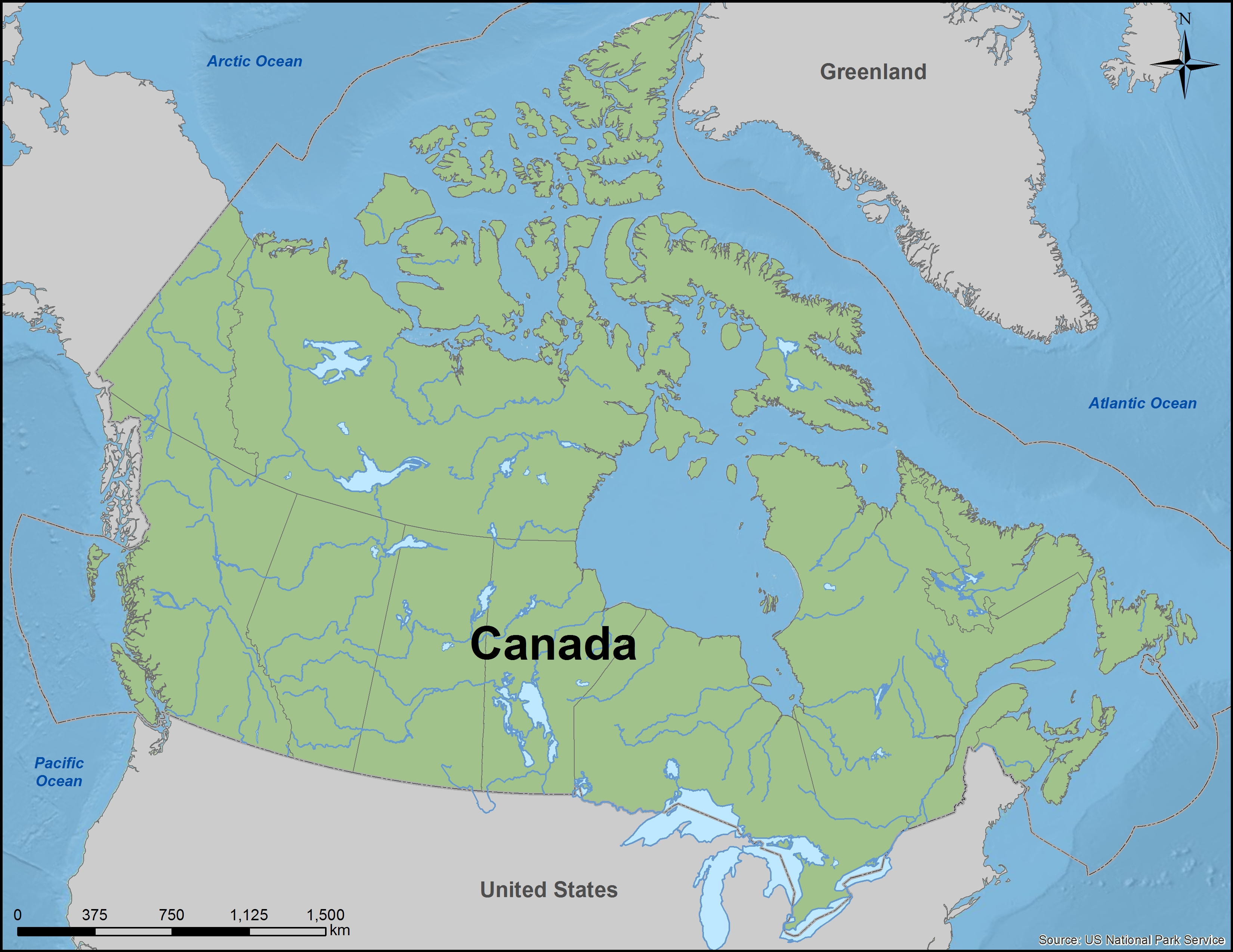
The Canadian Coastal Research Society (CCRS) undertakes coastal mapping and analysis to inform decision-making about sustainable coastal resources uses and marine use planning analysis.
CCRS will create and maintain a publicly accessible library and atlas of data about Canada’s coastal habitats, ecosystems, species and human uses so that the interplay between these can be better understood. An atlas of coastal resources and human activity will provide the basis for analyses of the degree of impact, influence or interplay among these elements. These analyses will improve our understanding of the socio-ecological systems of our coastal communities.